History
Who settled the Bajío: 2,600 years told from its cities
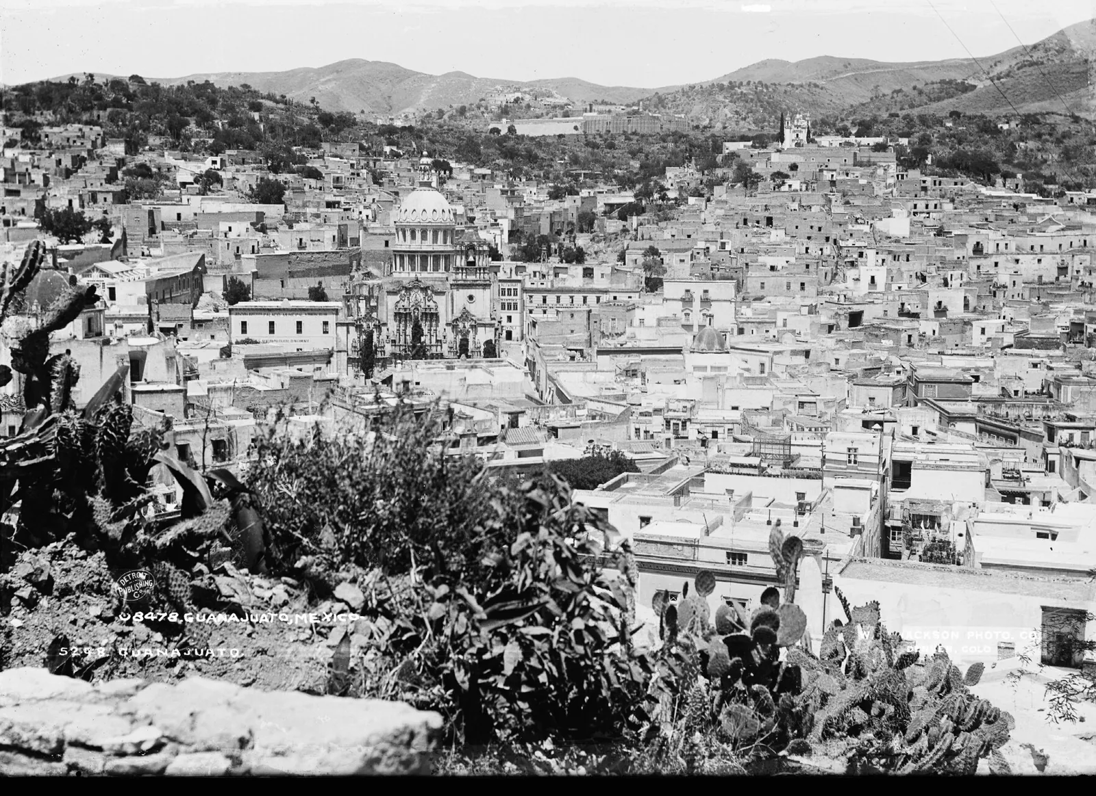
The Bajío has filled up and emptied out more than once. Preclassic farmers settled it first; around the year 1000 they abandoned it; silver and wheat repopulated it in the 16th century; by 1803 it was the densest region of New Spain. Today León, Querétaro, San Luis Potosí and Aguascalientes are home to more than five million people, and the order among them is shifting.
Origination and structuring of USD 5–50M infrastructure projects across the Bajío.
Let's discuss your projectHistorical note · History series
In 2025, INEGI counted 6,423,384 people in Guanajuato, making it Mexico’s sixth most populous state, ahead of Nuevo León. The municipality of León now has more than 1.8 million residents. Querétaro is growing faster than any other large Mexican city.
The region has not always been this full. The Bajío has filled up and emptied out more than once. Farmers settled it 2,600 years ago and abandoned it around the year 1000. Silver and wheat repopulated it in the 16th century, and by 1803 it was the densest region of New Spain. Then mining collapsed, the railway reshuffled the cities, and 20th-century industry turned them into metropolises.
Each of the Bajío’s big cities was founded for a different reason: the mine, the granary, the crossroads, the frontier. That founding reason still explains much of how each one grows.
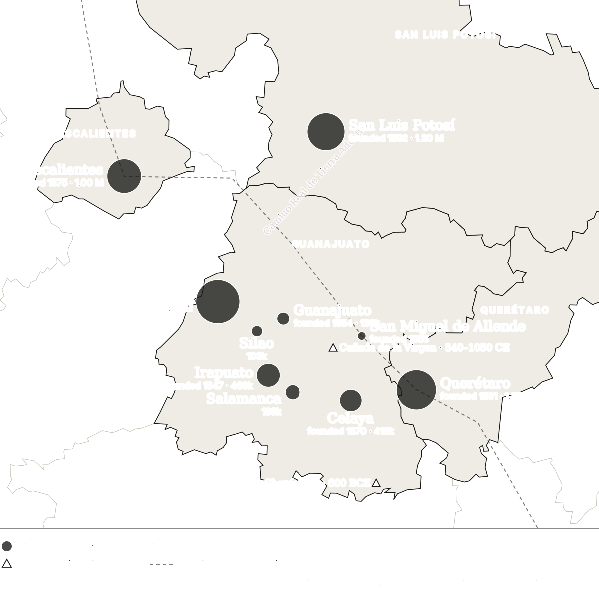
I. The first farmers (600 BCE–900 CE)
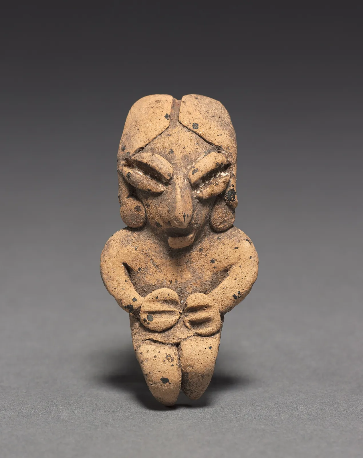
The region’s oldest chapter is named after a drowned village. Chupícuaro, in the Acámbaro valley, gave its name to a culture with three phases: Early Chupícuaro (600–400 BCE), Late Chupícuaro (400–100 BCE) and Mixtlán (0–250/450 CE). What we know about it comes from a salvage dig. In the 1940s, Daniel Rubín de la Borbolla’s team excavated 396 burials before the Solís dam, inaugurated in May 1949, flooded the site with water from the Lerma river.
Archaeologist Beatriz Braniff described what came next. In the Terminal Preclassic, around 200 BCE–150 CE, Mesoamerica “expanded north of the Lerma river” and occupied a band she called Northern Mesoamerica. The Bajío filled with villages and ceremonial centres. Cañada de la Virgen, near San Miguel de Allende, worked as an astronomical and religious centre between 540 and 1050 CE. Plazuelas, Peralta and El Cóporo date from the same era.
II. The frontier that emptied (900–1540)
Then came the retreat. “Around 900/1000 CE most of Northern Mesoamerica — if not all of it — was abandoned by farming groups,” Braniff writes. She links this to a long dry spell that may have lasted until the Spanish arrived.
When the Spanish arrived, the Lerma river was a cultural frontier. To the south lived the Purépecha and Otomí peoples. To the north began what the Mexica called Chichimecatlalli, the land of the Chichimecs: Guamares, Guachichiles, Pames and Copuces, hunter-gatherer peoples who did not live in cities. The four states that now hold more than 13 million people were, in 1500, a land with almost no farmers.
III. The foundations: every city had its reason (1531–1592)
The 16th century repopulated the region in sixty years. Each foundation answered a different need of the Crown and the settlers:
| City | Founded | Founding reason |
|---|---|---|
| Querétaro | 1531 | Otomí town at the gateway to the Chichimeca; crossroads |
| Irapuato | 1547 | Farming estate in the valley |
| Guanajuato | 1548–1554 | Silver: the veins were found in 1548; the mining town was founded in 1554 |
| San Miguel | 1555 | Defensive town on the silver road |
| Celaya | 1570 | Town of Basque farmers and ranchers; first town council on 1 January 1571 |
| Aguascalientes | 1575 | Town and stopover on the Camino Real towards Zacatecas |
| León | 1576 | Town to secure and farm the Señora valley |
| San Luis Potosí | 1592 | Cerro de San Pedro mines, settled with Tlaxcalan families |
Dates are each city’s traditional founding dates. For Querétaro and Irapuato they are commemorative dates rather than founding charters.
The engine was silver from Zacatecas, discovered in 1546, and later from Guanajuato. The Camino Real de Tierra Adentro was opened to carry it to Mexico City, and Chichimec raids on the wagon trains set off the Chichimeca War (1550–1600). The Crown answered by settling the land: garrisons, Spanish towns and Indigenous towns brought up from the south. Humboldt summed it up two centuries later: as the “Chichimecs” abandoned the territory, the Spanish “transplanted colonies of Mexican or Aztec Indians”.
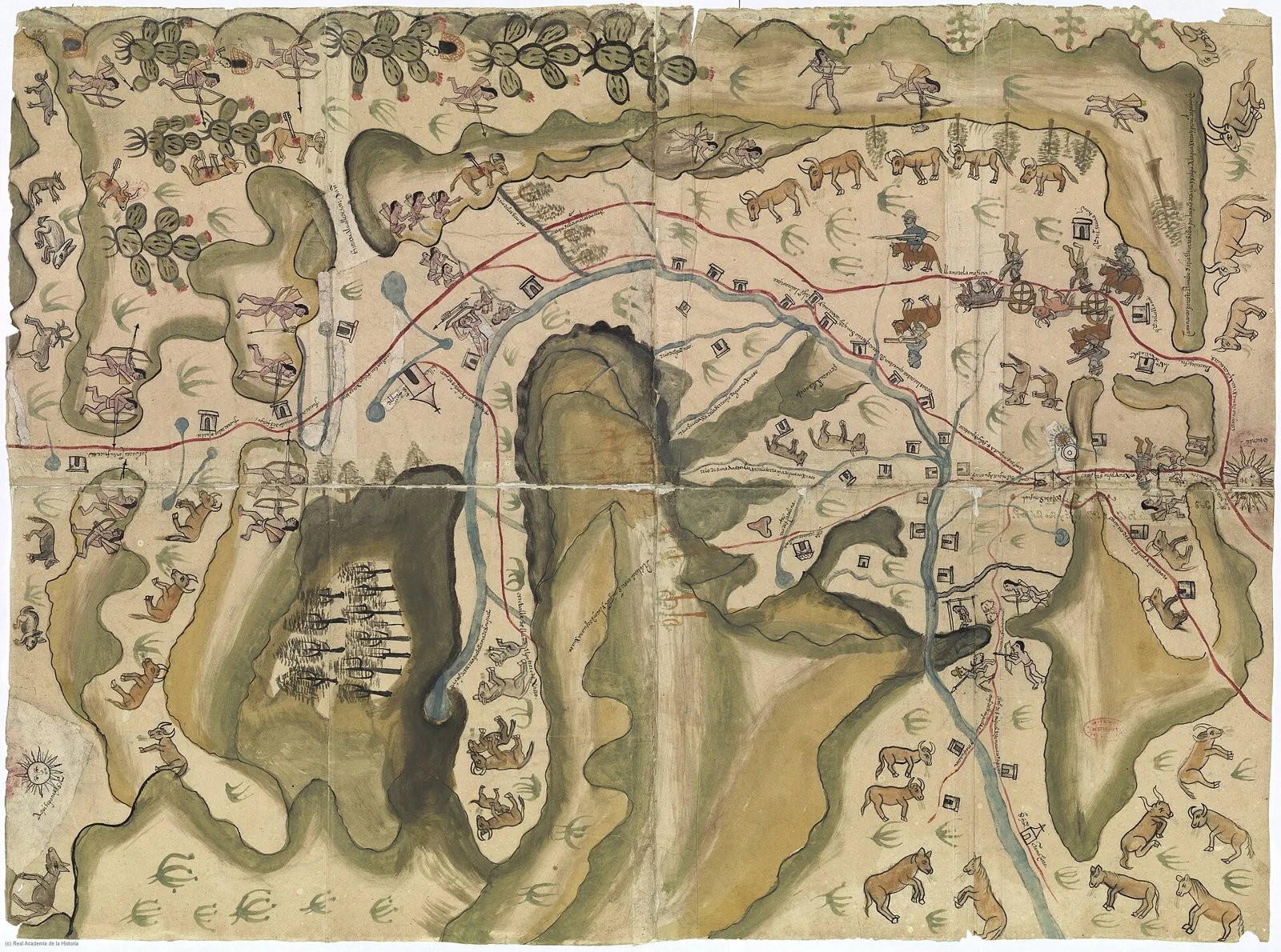
San Luis Potosí closed the cycle. It was founded in 1592, after the “peace by purchase” that ended the war, with Tlaxcalan families settled alongside the Guachichiles. It was the first large Bajío city built as a northern frontier town.
IV. 1803: the most populous region of New Spain
Two hundred years later, the Bajío was a different place. Alexander von Humboldt toured it in 1803 and published his figures in the Political Essay on the Kingdom of New Spain:
- The intendancy of Guanajuato had 517,300 inhabitants and was “the most populous in New Spain”. Its population, he added, was “more equally distributed here than in any of the other provinces”. The Bajío was already a network of cities, not a capital surrounded by countryside.
- The city of Guanajuato had 70,600 people: 41,000 in the city proper and 29,600 in the adjoining mining camps (Marfil, Santa Ana, Santa Rosa, Valenciana, Rayas and Mellado). Humboldt ranks it among the largest cities in Spanish America, alongside Mexico City and Havana.
- Querétaro had a “habitual population” of 35,000, 11,600 of them Indigenous. It was known for its buildings, its aqueduct (finished in 1738) and its woollen mills.
- León was still a town “in a plain eminently fertile in grain”. Humboldt wrote that between León and San Juan del Río lay “the finest fields of wheat, barley, and maize”.
The Bajío of 1803 had the mine (Guanajuato), the mill (Querétaro, San Miguel) and the granary (León, Celaya, Irapuato, Salamanca), all within a 150-kilometre radius. That combination is what Humboldt saw as exceptional.
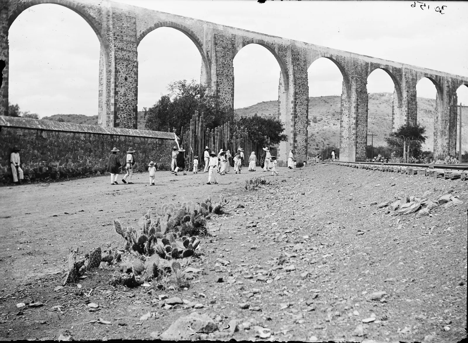
V. The 19th century: the mine empties, the railway reshuffles
Independence began here. The Grito was in Dolores and the first major battle was at the Alhóndiga de Granaditas in September 1810. War and the collapse of mining emptied the region’s richest city. By the 1900 census Guanajuato had 41,486 inhabitants, almost 30,000 fewer than in Humboldt’s day.
Meanwhile, the farming town grew. In 1900 León had 63,263 people and was Mexico’s fourth-largest city, behind only the capital, Guadalajara and Puebla. San Luis Potosí, with 61,019, was sixth.
The railway set the order for the century that followed. In 1884 the Mexican Central Railway completed its line from Mexico City to Paso del Norte. It ran through Querétaro, Celaya, Irapuato, Silao, León and Aguascalientes, almost on top of the old Camino Real. Guanajuato city was left on a branch line. San Luis Potosí became a rail hub towards Laredo and Tampico. Aguascalientes, home to the Central’s workshops, joined the country’s ten most populous cities in 1910, with 45,198 people.
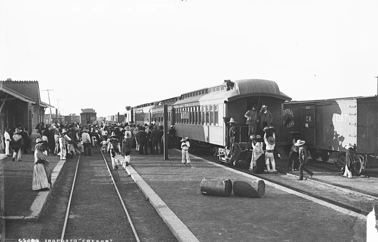
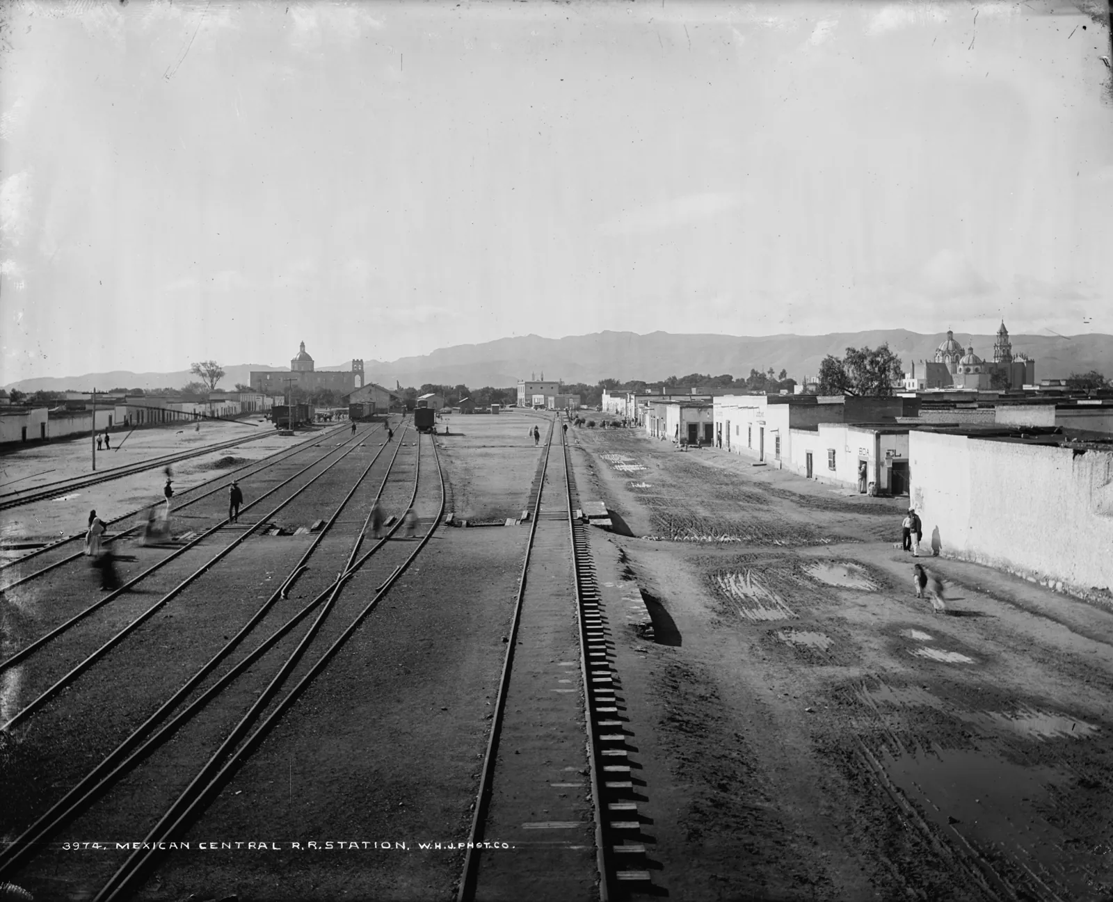
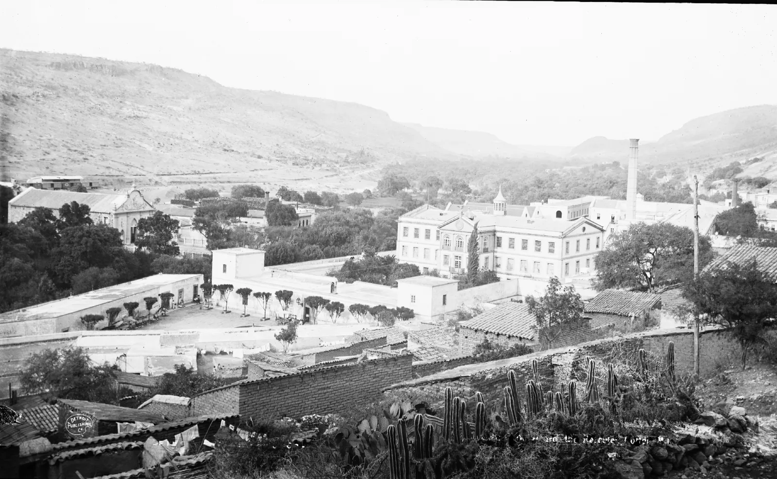
VI. The 20th century: from mid-sized cities to metropolises
A 1919 US catalogue called León “the republic’s greatest manufacturing city”. Leather and footwear drove it for the whole century. León grew from 122,726 people in 1950 to 593,002 in 1980, and in 2000 it became the eighth Mexican city to pass one million.
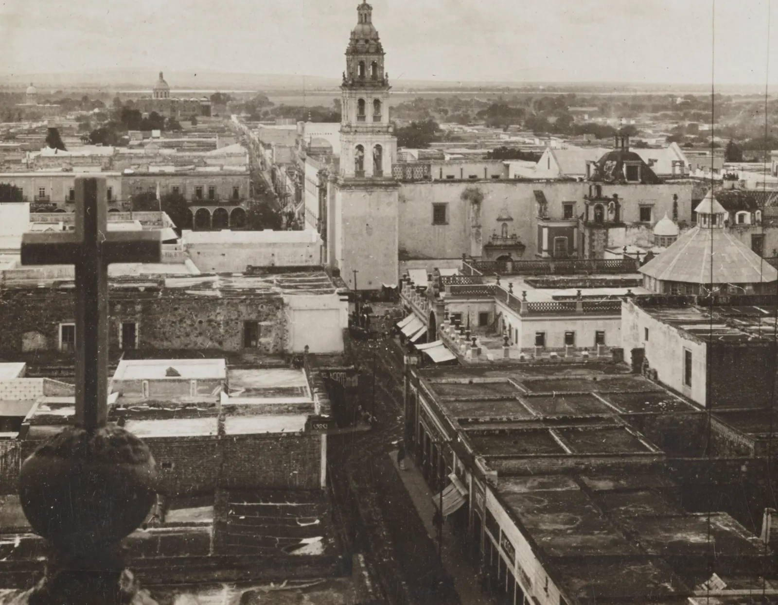
The 20th century had another side too: emigration. Guanajuato has sent workers to the United States since the Bracero Program, and it still has the country’s highest international emigration rate: 7.5 % of its population between 2020 and 2025, according to INEGI.
The auto and aerospace industries changed the scale. Nissan opened in Aguascalientes in 1982 and GM in Silao in 1994. Honda (Celaya) and Mazda (Salamanca) arrived in 2014, and Toyota (Apaseo el Grande) and BMW (San Luis Potosí) in 2019. Querétaro added aerospace. The plants settled on the same axis the railway followed in 1884 and silver in the 16th century: highways 57 and 45 are the Camino Real paved over.
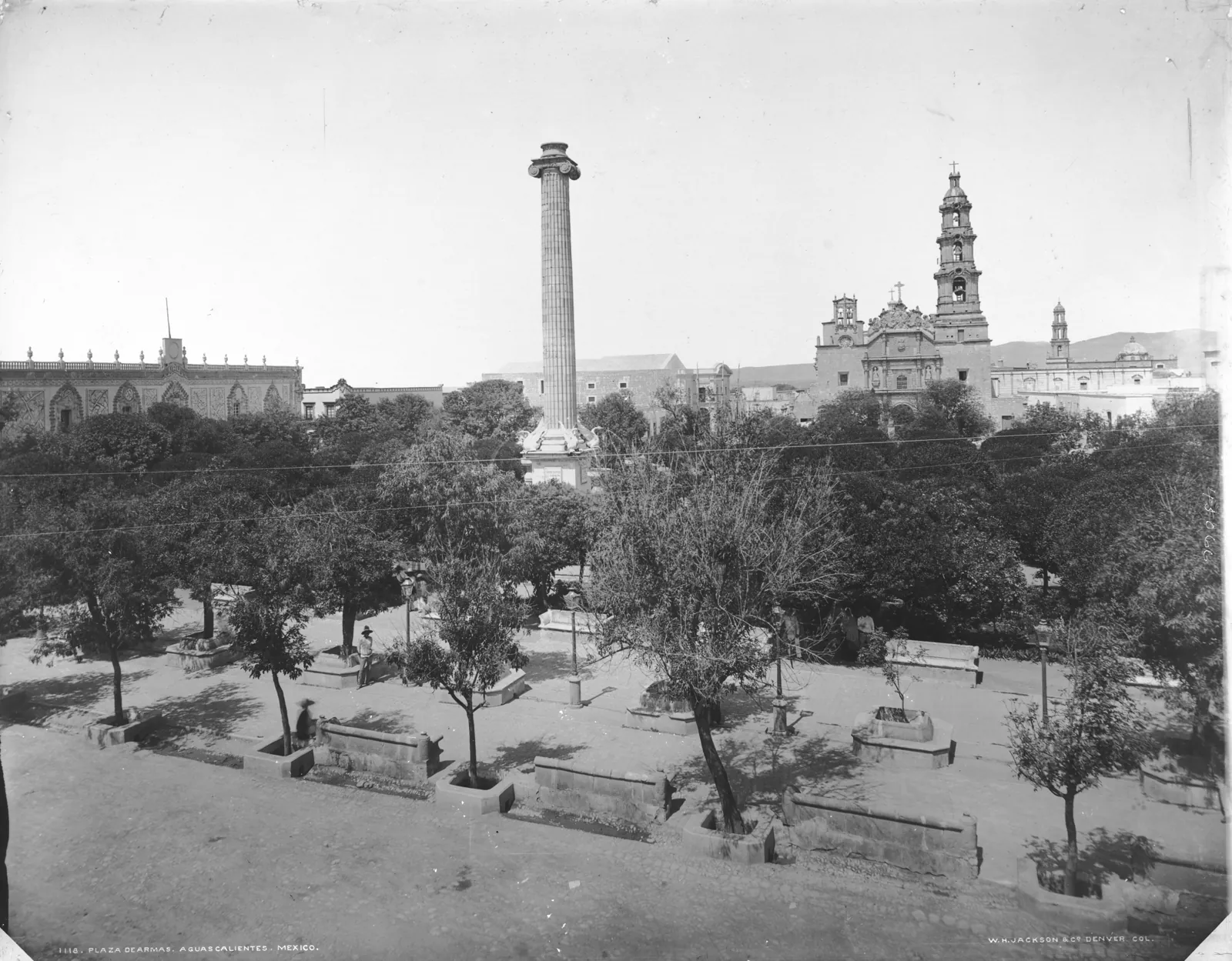
VII. 2020–2025: the order is shifting
The 2020 National Urban System (SEDATU and CONAPO) measures each city as a continuous built-up area, regardless of municipal boundaries. By that measure, the Bajío’s four big cities are among Mexico’s thirteen cities of more than one million people:
| City | 1900 | 2020 | Annual growth 2010–2020 | 2030 projection |
|---|---|---|---|---|
| León | 63,263 | 1,623,950 | 2.0 % | 1,986,405 |
| Querétaro | — | 1,347,326 | 4.8 % | 2,145,127 |
| San Luis Potosí | 61,019 | 1,198,372 | 1.9 % | 1,446,447 |
| Aguascalientes | 45,198 ¹ | 1,000,160 | 2.4 % | 1,267,592 |
| Irapuato | — | 469,441 | 1.7 % | 557,446 |
| Celaya | — | 416,025 | 1.1 % | 463,736 |
| Guanajuato | 41,486 | 136,004 | 1.3 % | 154,875 |
1900: general census, locality population; ¹ 1910 figure. 2020 and 2030: 2020 National Urban System (city, not municipality). For comparison, in 1803 Humboldt counted 70,600 people in Guanajuato and 35,000 in Querétaro. The units are not identical across years; the table shows orders of magnitude and trajectories.
Three takeaways:
1. Querétaro is catching León. It grew 4.8 % a year between 2010 and 2020, faster than any other Mexican city of more than a million people. If the National Urban System projection holds, by 2030 it will be the Bajío’s largest city, with 2.15 million people against León’s 1.99 million. It would be the first time since 1900 that León did not lead the region. The 2025 Intercensal Survey points the same way: the Querétaro metropolitan area added more than 135,000 people in five years and now stands at around 1.73 million.
2. León is still Guanajuato’s centre of gravity. Its municipality grew from 1,721,215 people in 2020 to 1,811,061 in 2025 and holds 28 % of the state’s population. The farming town of 1576 is now Mexico’s sixth most populous municipality.
3. The corridor is not growing evenly. Irapuato grew and now holds almost 10 % of the state. The municipality of Guanajuato city reached 210,581. Celaya lost population for the first time, falling from 521,169 people in 2020 to 510,918 in 2025, a figure the city government itself has disputed. In San Luis Potosí a direct comparison no longer works. In July 2024 Villa de Pozos split off as its own municipality, so the capital recorded 771,315 people in 2025 and Soledad de Graciano Sánchez 350,401. The state grew to 2,889,524. Aguascalientes reached 1,539,174 people, 1,025,505 of them in the capital.
What this means for infrastructure
The Bajío’s population has always followed infrastructure, not the other way round. Chupícuaro’s farmers followed the Lerma’s water, and the towns of the 1550s followed the silver road. Querétaro grew on its aqueduct, León and Aguascalientes on the railway, and today’s metropolises on highway 57 and the industrial parks.
If the National Urban System projections hold, the seven cities in the table will add about 1.8 million people between 2020 and 2030. Most of them, almost 800,000, will land in Querétaro. They will need housing, water and, above all, electricity: the bottleneck of this era is no longer the road or the railway but the power grid. The region Humboldt described as the most populous in New Spain faces the same old problem again: people arrive before the infrastructure does.
Bajío Ventures is a Mexican energy infrastructure investment group based in Guanajuato. We originate and structure USD 5–50M projects across the Bajío corridor.
Images: photographs by William Henry Jackson and the Keystone View Company, US Library of Congress (no known restrictions on publication); c. 1580 map, Real Academia de la Historia via Wikimedia Commons (public domain); Chupícuaro figurine, Cleveland Museum of Art (CC0). The 2025 Intercensal Survey figures were taken from regional press coverage of INEGI’s release (22–23 September 2026).
Sources: Arqueología Mexicana — Chupícuaro, Guanajuato · Beatriz Braniff — La frontera septentrional de Mesoamérica (UNAM) · Arqueología Mexicana — Guanajuato en la historia · Scielo — Changes on the Chichimeca frontier in the 16th century · Alexander von Humboldt — Political Essay on the Kingdom of New Spain, vol. II (1811) · Wikipedia — List of most populous cities in Mexico by decade (1900–2020 censuses) · SEDATU/CONAPO — Sistema Urbano Nacional 2020 · La Silla Rota — Guanajuato has 6.4 million people (INEGI) · TV4 — Guanajuato and migration (2025 Intercensal) · Notus — León and Querétaro, 2025 Intercensal · Notus — Celaya’s population falls · Noticieros en Línea — León, Mexico’s sixth most populous municipality · Medias Tintas — San Luis Potosí, 2025 Intercensal · Aguascalientes, 2025 Intercensal (Yahoo Noticias) · US Library of Congress — W. H. Jackson photographs
Origination and structuring of USD 5–50M infrastructure projects across the Bajío.
Let's discuss your projectThis article is also available in Spanish. Read in Spanish